Boulder River - Bible Stretch (II-III+)
Bible Stretch Overview
The Bible Stretch of the Boulder River is an exciting, continuous 6.5-mile stretch ideal for intermediate and advanced whitewater paddleboarders. This scenic section flows from the Beartooth/Absaroka Mountains above Big Timber, Montana, and features Class II-III+ rapids, depending on the flow, that offer a thrilling yet manageable adventure. Named after the church camps that line its banks, this stretch is a treasure for those looking for a fun run with plenty of play spots and challenging rapids. The Bible Stretch is an essential destination for paddleboarders seeking a unique experience in Southwest Montana’s whitewater.
Key Details and Resources
River Gauge: Boulder @ Big Timber (USGS) 06200000
River Difficulty
1000 CFS - Class III
3000 CFS - Class III+
5000 CFS - Class IV
Put-In Location: 45.374886, -110.207536
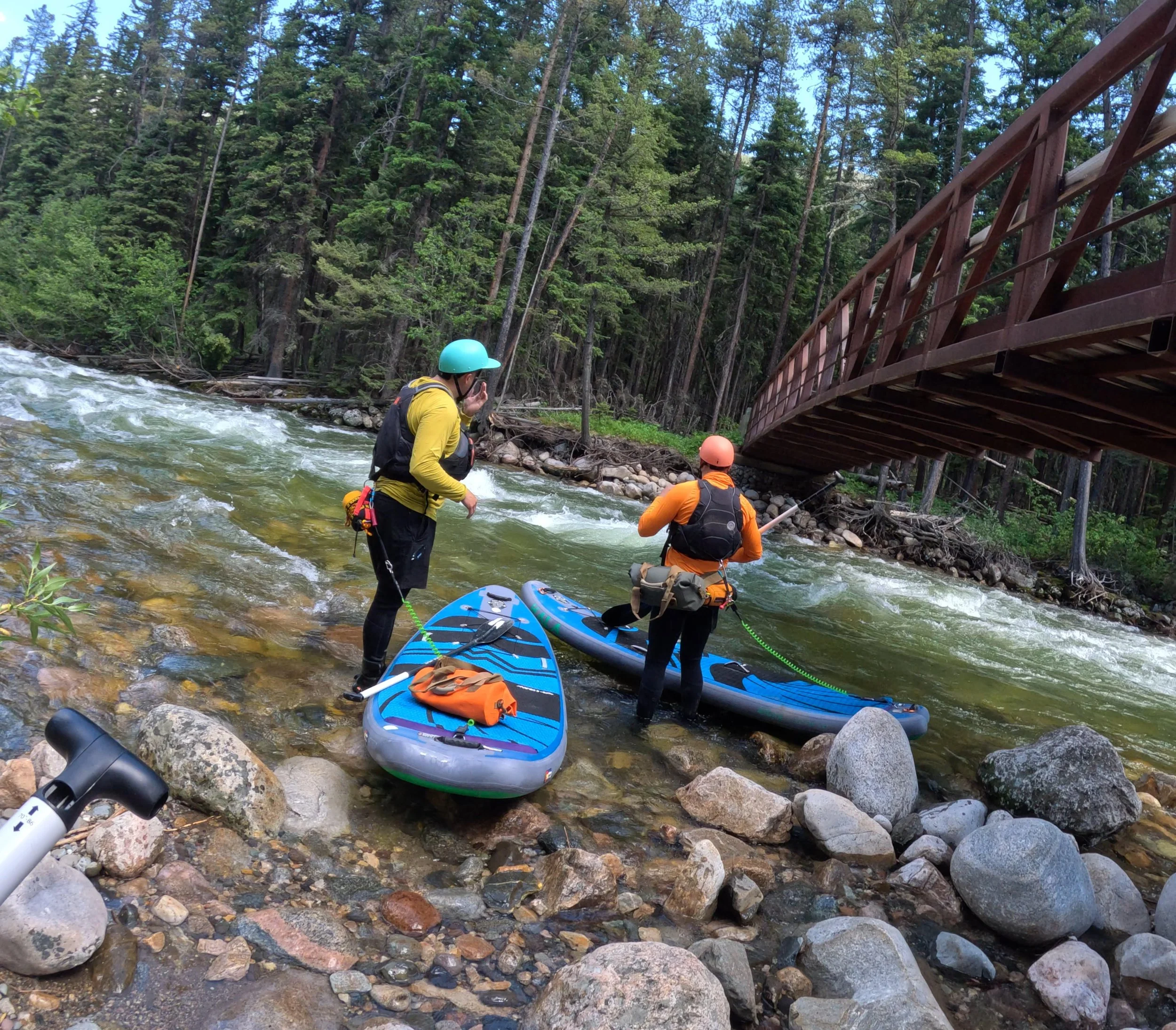
Footbridge 6.5 Miles above Aspen Campground
Access: Follow Boulder Canyon Road 6.5 miles past Aspen Campground. The footbridge marks the start of this stretch.
Take-Out Locations:
Chippy Park Campground - 45.437264, -110.189446
Distance from Put-In: 4.5 miles
Aspen Campground - 45.456909, -110.196690
Distance from Put-In: 6.5 miles
Trip Length: 4.5-6.5 miles
River Gradient: 65 feet per mile
Season: May to July
Play Spots & Features
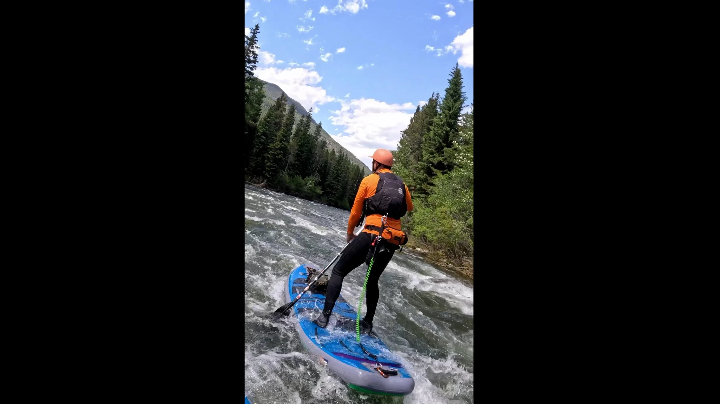
Wave Trains: Paddleboarders can enjoy several stretches of playful waves that are perfect for surfing and practicing technical maneuvers.
Rapids: The well-defined Class II-III rapids provide ample challenge, especially in higher flows. Paddleboarders need to pay attention to line management in the tighter sections.
Paddling the Bible Stretch
The Bible Stretch is a highly dynamic run offering continuous whitewater that paddleboarders will love. With a consistent gradient of 65 feet per mile, this section of the Boulder River presents several Class II-III rapids, which provide both fun play spots and technical challenges for even the most seasoned SUP paddlers. The splashy nature of the run, along with its waves and eddy lines, makes it an excellent spot for those looking to improve their whitewater skills.
The run's roadside access means that shuttle logistics are straightforward, making it an attractive choice for SUP paddlers who want a solid day of paddling without the hassle of long portages or tricky put-ins. The key features include several wave trains perfect for surfing, along with some tighter, more technical rapids that will test your ability to hold a line.
As with many rivers in Montana, much of the land along the Bible Stretch is privately owned, so it's crucial to adhere to Montana’s stream access laws. These laws allow the public to use streams and rivers below the high-water mark as long as access is gained legally from public land. Respecting landowner rights and the environment is essential to preserving this beautiful stretch of river for future generations of paddleboarders.
History of the Bible Stretch
The Bible Stretch of the Boulder River is not only a sought-after destination for whitewater paddleboarding but also a region steeped in rich history. For centuries, this area has been a corridor of both natural beauty and human endeavor, witnessing the passage of Native American tribes, homesteading pioneers, and modern-day adventurers. This history adds a unique cultural layer to the exhilarating paddleboarding experience in this part of Montana.
Native American Presence
Long before European settlers arrived, the Boulder Valley and surrounding areas were inhabited by various Native American tribes, notably the Crow (Apsáalooke). For these Indigenous peoples, the Boulder River and its tributaries were not only a source of water but also rich hunting grounds, providing game and sustenance. The river's steady flow and the fertile valley allowed the Crow people to thrive in this harsh yet bountiful landscape. They moved throughout the region seasonally, taking advantage of the plentiful resources offered by both the river and the surrounding forests. Their presence in the area set the foundation for the enduring relationship between humans and the natural environment of the Boulder River.
Early Settlement and Ranching
With the westward expansion of the United States in the 19th century, European settlers began to establish ranches and homesteads in Montana’s river valleys. The Boulder Valley was no exception. As settlers arrived, they found the Boulder River and its surrounding lands ideal for farming and raising livestock. The abundant water supply made irrigation possible, supporting agriculture in the area.
One of the most iconic examples of this settlement is the Clydehurst Ranch, located just upstream of the Bible Stretch. Founded in the early 20th century, the ranch was initially established as a working ranch before transitioning into a retreat and Christian camp. Clydehurst Ranch was founded in 1915 by a group of dedicated individuals who recognized the Boulder Valley’s potential as a sanctuary for spiritual rejuvenation and outdoor adventure. In the early years, the ranch offered rest and spiritual retreats for families, providing a much-needed escape from the rigors of daily life.
At Clydehurst, ranch life blended with religious devotion. Participants could work with cattle and horses, fish the river, and reflect amid the stunning natural landscape. The name “Bible Stretch” itself is a testament to this heritage, as the stretch of river near the ranch became a hub for spiritual retreats, where visitors sought solace and connection with both nature and their faith.
The Natural Bridge and Geologic History
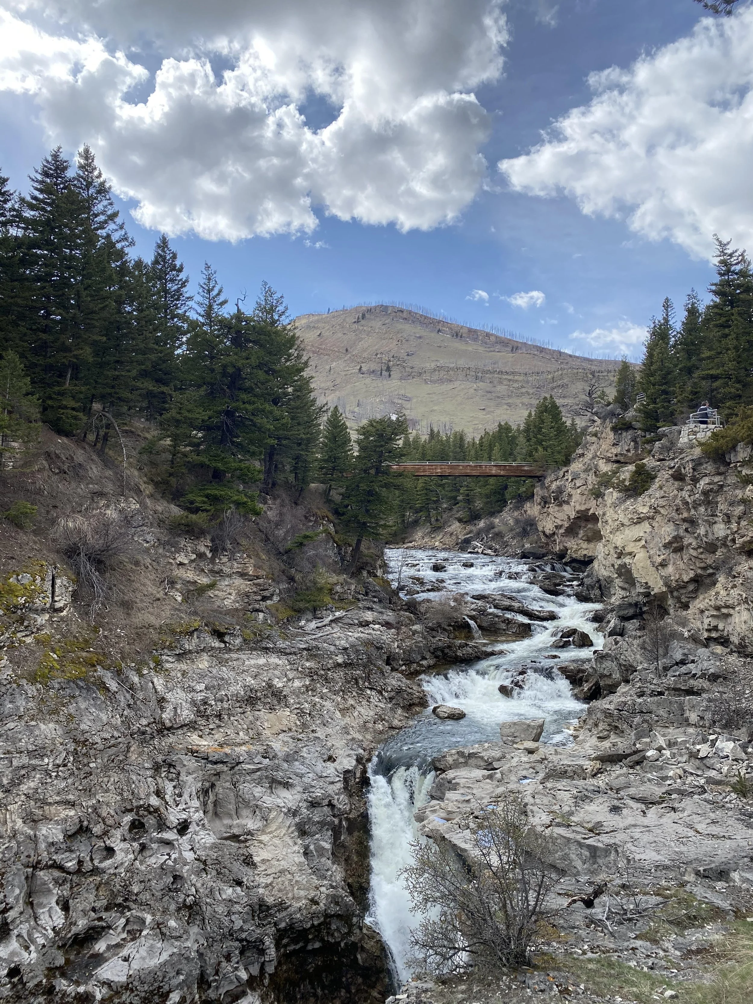
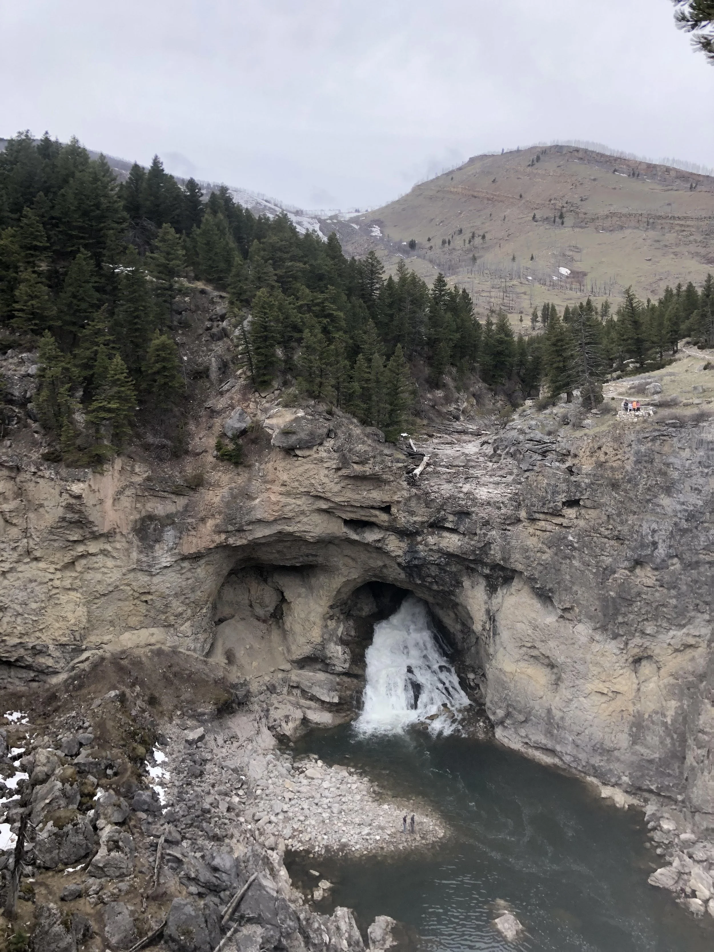
Adding to the Bible Stretch's allure is the Natural Bridge, a geologic marvel located near the take-out point of this river section. The Natural Bridge is a 100-foot waterfall that tumbles through a limestone arch, creating a dramatic visual spectacle for those paddling the Boulder River. This natural feature has fascinated visitors for generations, symbolizing the raw and unyielding power of water that has shaped the land over millennia.
The geologic history of the Boulder River is tied to the volcanic and glacial activity that formed the surrounding Absaroka Range. Millions of years ago, volcanic eruptions shaped much of the rock formations, leaving behind a rugged and diverse landscape. As glaciers advanced and receded during the Pleistocene Epoch, they carved out the valleys and riverbeds, creating the dynamic waterways that modern-day paddleboarders navigate today.


