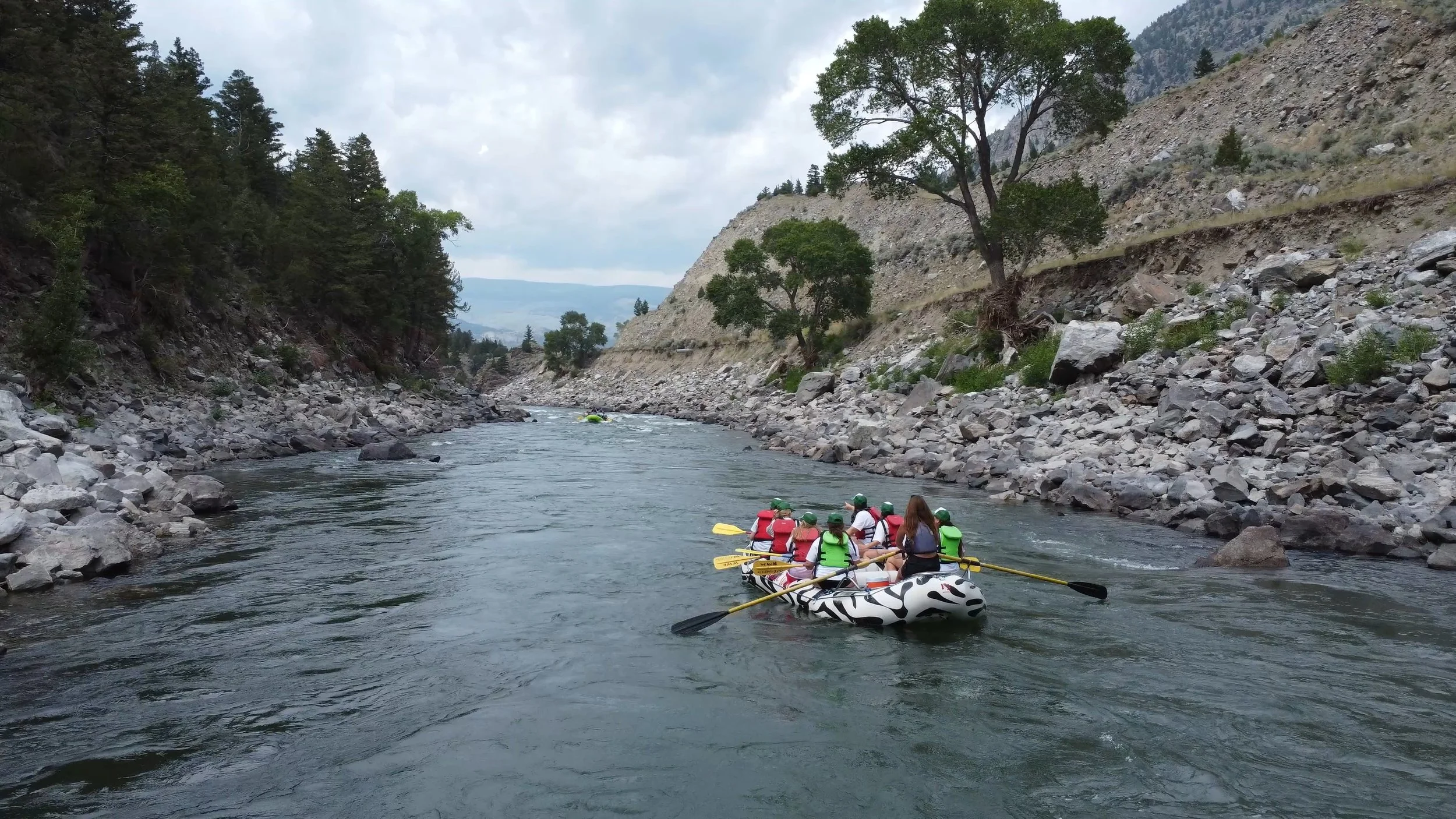
Yellowstone River - Gardiner Section & Yankee Jim Canyon
The Yellowstone River is a pristine and legendary waterway, stretching over 700 miles from its source in the Absaroka Mountains near Yellowstone National Park to its confluence with the Missouri River. As the longest undammed river in the contiguous United States, it remains free-flowing for its entire journey, making it one of the premier destinations for paddleboarders seeking a true wilderness experience.
Winding through some of the most dramatic landscapes in Montana, the river offers diverse experiences—from thrilling Class III-IV rapids in the Yankee Jim Canyon to serene flatwater stretches perfect for a leisurely paddle. This entry will focus on the sections of river from Gardiner to the Carbella River Access below the Yankee Jim Canyon.
Best Seasons for SUP
Spring and early summer are ideal for whitewater enthusiasts, with runoff creating exciting rapids, particularly in Yankee Jim Canyon. However, for more relaxed paddling, late summer through early fall is ideal as the river levels drop, revealing easier and more accessible sections.
Key Details and Resources
River Gauge: 06191500
American Whitewater Link:
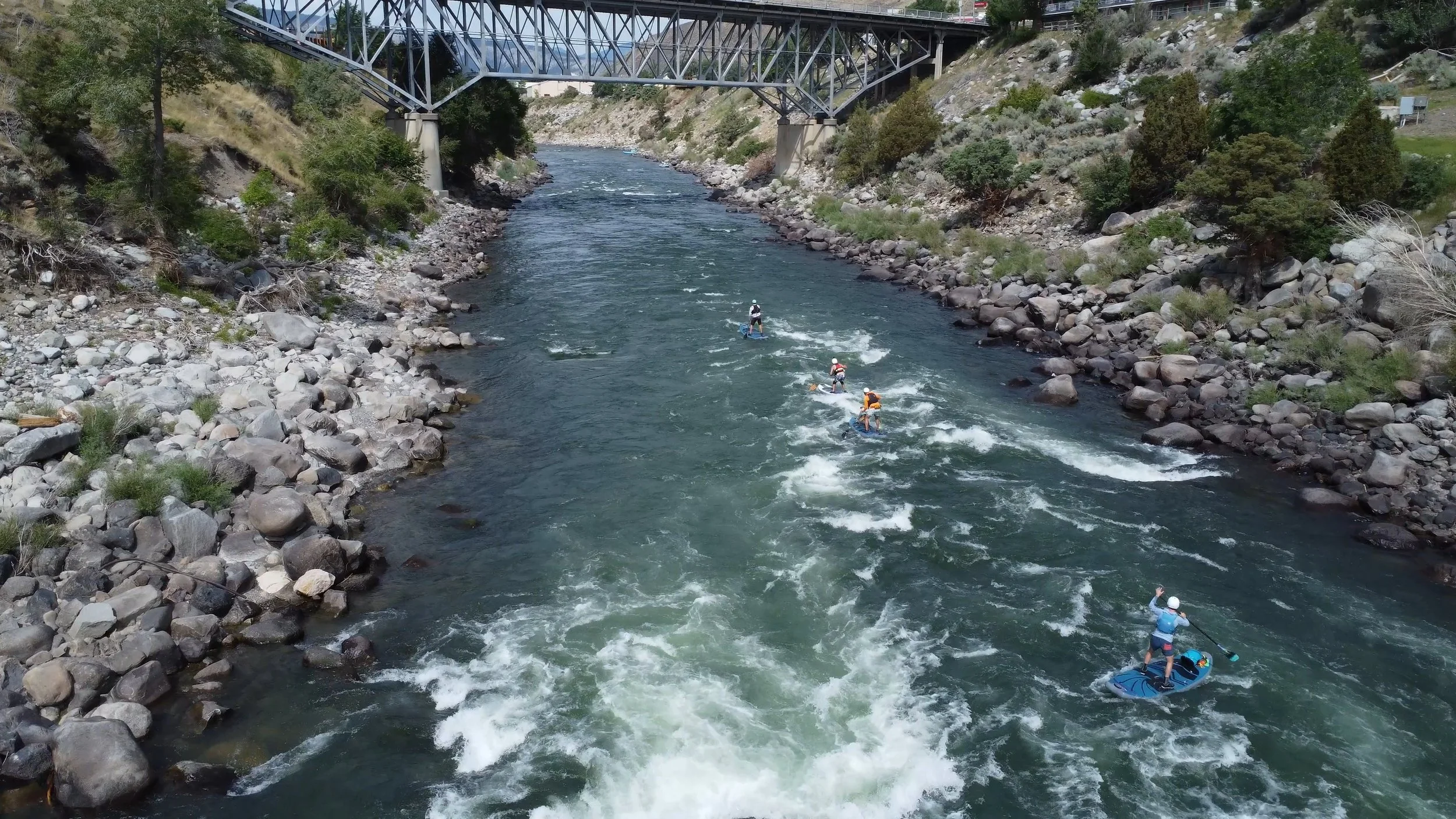
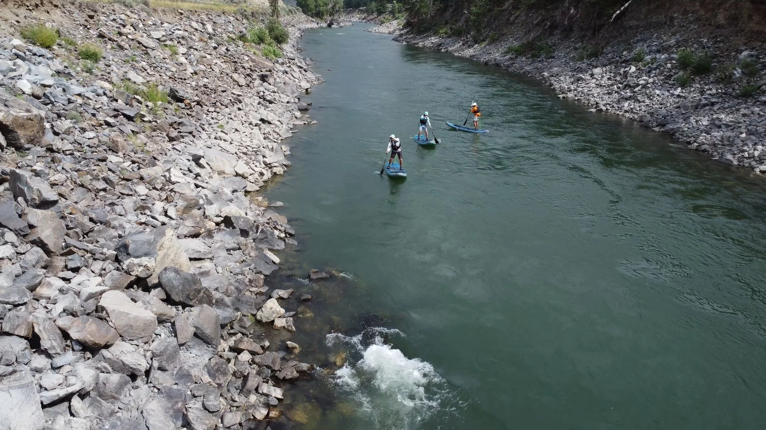
Gardiner to McConnell River Access or down to Cinnabar Picnic Area (Gardiner Section)
Gardiner Town Section
Gardiner Town Section Put-In and Take-out
Put-In
GPS Coordinates: 45°01'47.4"N 110°42'02.4"W
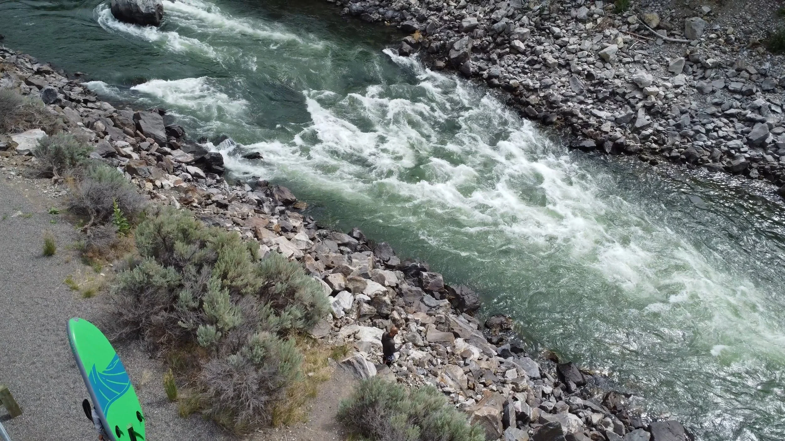
Paddleboarders can access the river at Gardiner by crossing the Yellowstone River bridge and following Park Street until it veers onto a dirt road. From there, park near the roundabout and hike down to the river for easy access. The put-in is a great spot to gear up while taking in views of the town of Gardiner and the surrounding mountains.
Take-Out:
McConnell Landing
GPS Coordinates: 45.054023, -110.757319
Located approximately 4 miles downstream, the McConnell Landing take-out offers easy access after a thrilling paddle. From Highway 89, the take-out is 50 miles south of Livingston, making it an accessible spot for those traveling from nearby towns.
Key Rapids and Features Along the Float
Pickets (3,000-6,000 CFS):
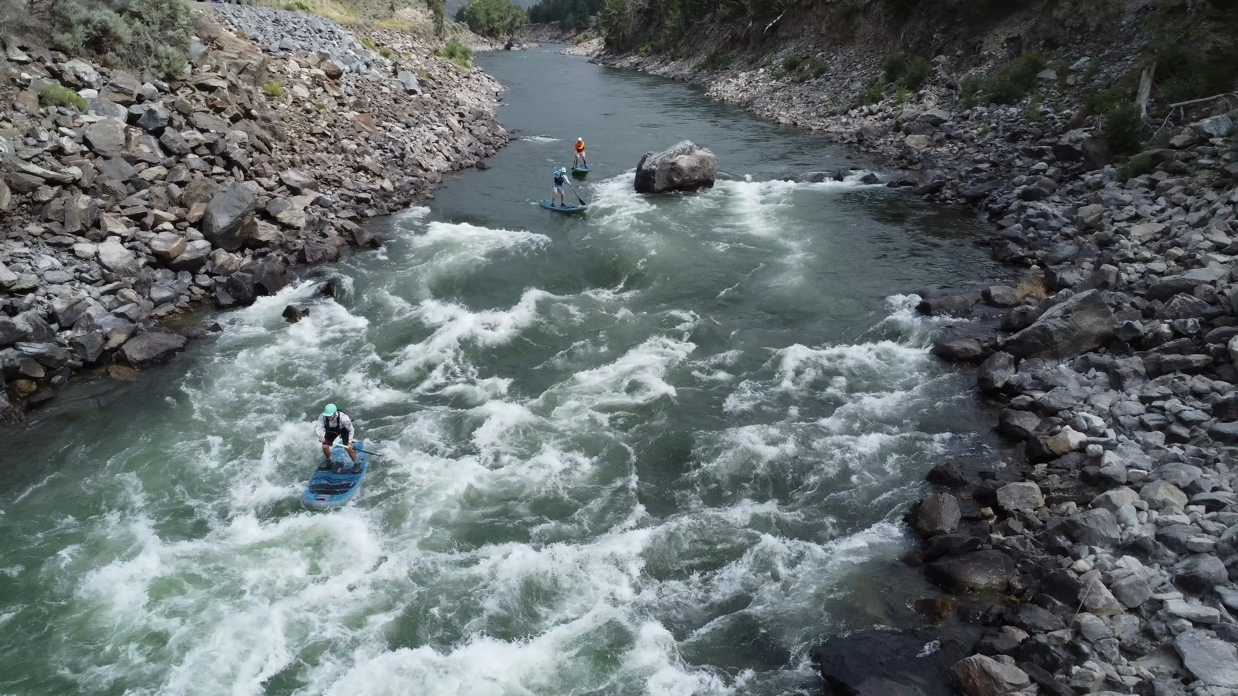
This is the first major feature on the run, a reliable green wave that offers plenty of fun at higher water levels. Paddleboarders can enjoy the playful wave without too much risk, though staying alert for potential cartwheeling currents is recommended. It’s a great spot for intermediate paddlers to sharpen their playboating skills without the intensity of harder rapids.
Crater (6,000-9,000 CFS):
Found just upstream of the McConnell Landing take-out, this sweet play spot comes alive during higher water flows, making it a fantastic place to surf and refine your skills. Its positioning near the take-out makes it an ideal final challenge before pulling off the river.
Class II-III Wave Trains:
The wave trains along this section are some of the best intermediate-level whitewater on the upper Yellowstone. While they offer excitement, they are forgiving enough for less experienced paddlers to build confidence.
Yankee Jim Canyon
Yankee Jim Put-In and Take-out
Put-In
Yankee Jim River Access
GPS Coordinates: 45.168258, -110.854981
Paddleboarders can access the river at the Yankee Jim River Access. The put-in is a great spot to gear up and meet up.
Take-Out:
Carbella River Access
GPS Coordinates: 45.212475, -110.900550
Located approximately 4 miles downstream with sufficient campgrounds.
Overview
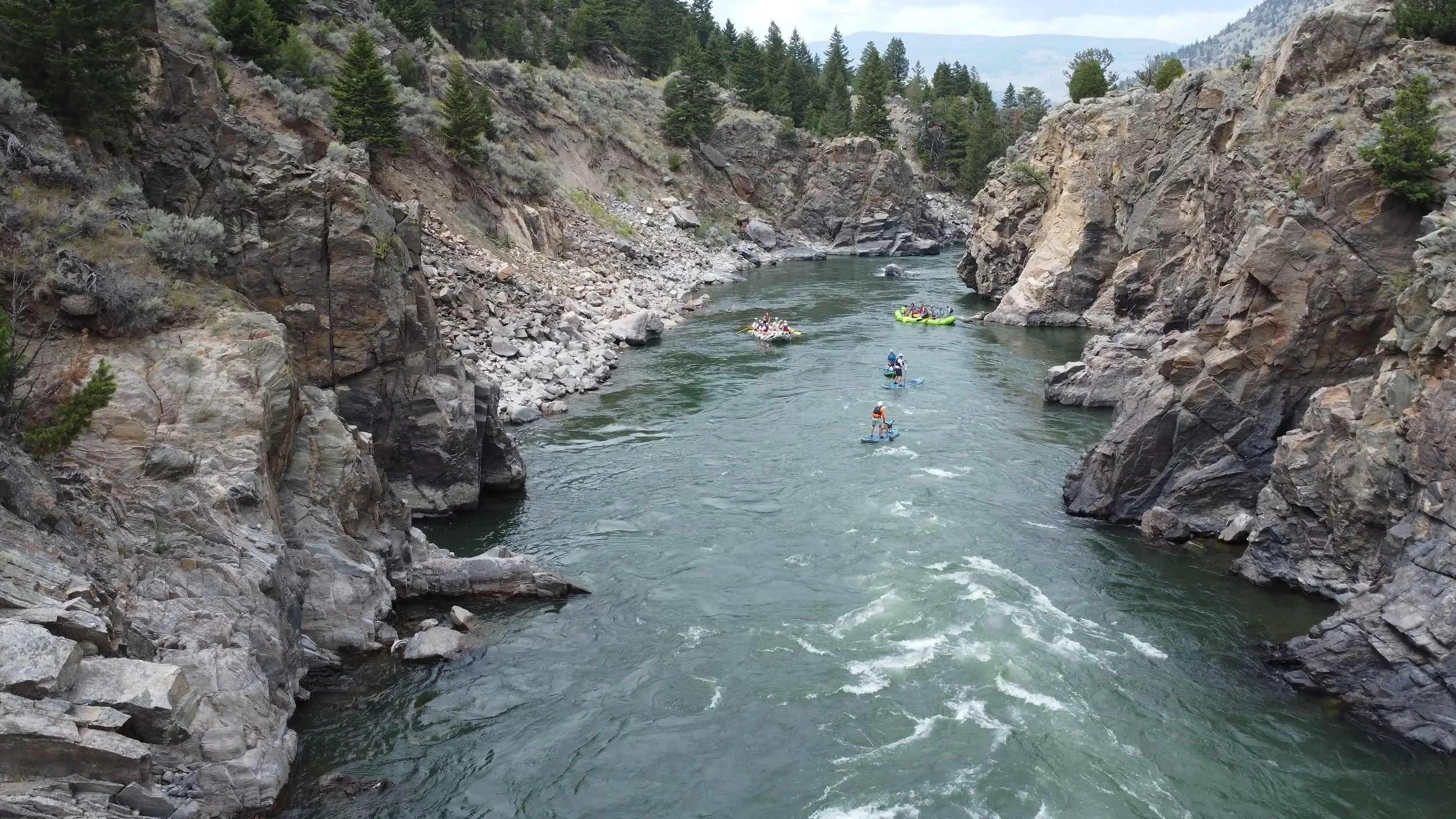
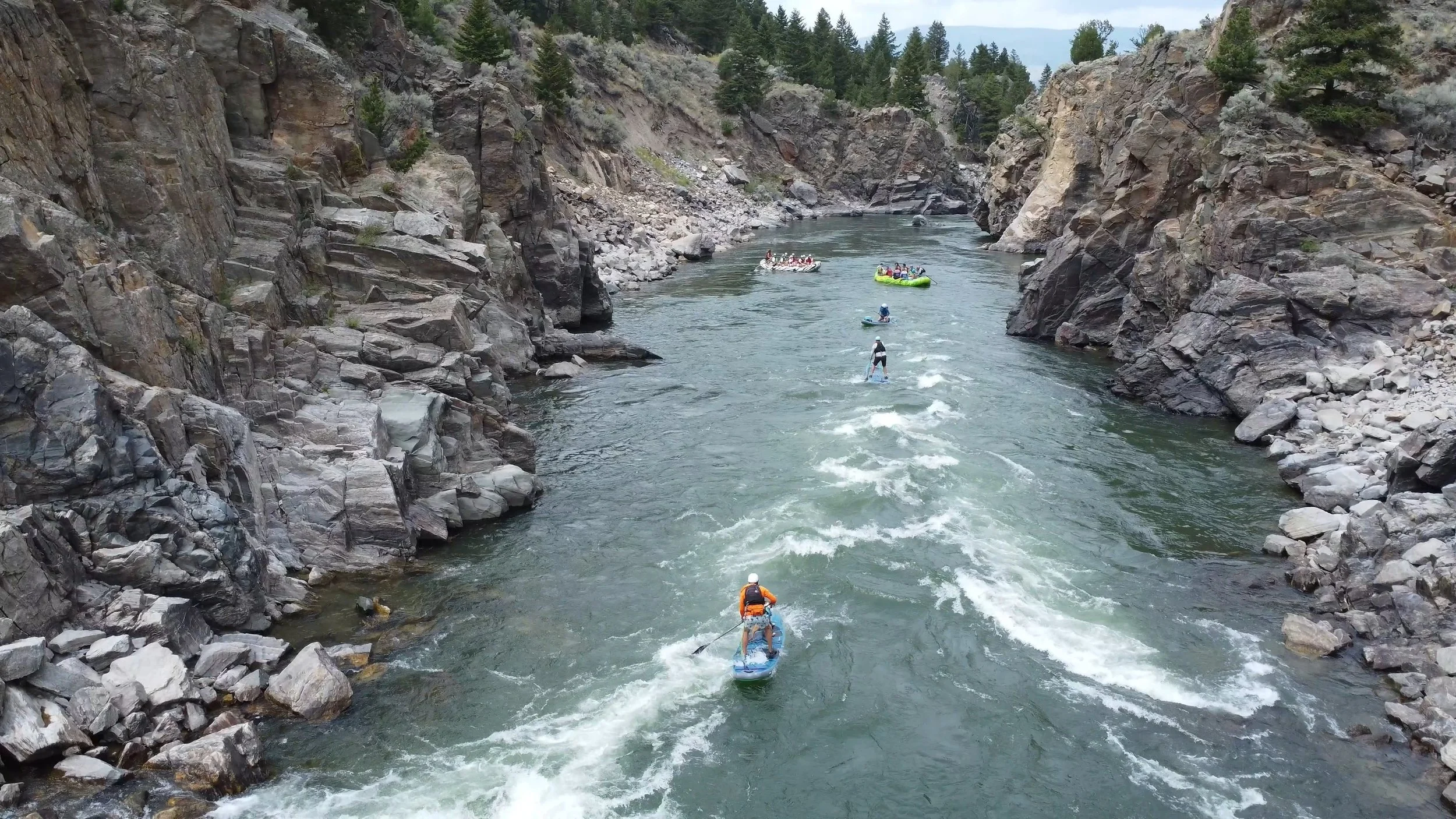
Yankee Jim Canyon is one of the most thrilling and iconic stretches of the Yellowstone River, located between Gardiner and Livingston. Known for its narrow, canyon-like walls and large-volume rapids, this section is a favorite for adventurous paddleboarders seeking whitewater challenges. With its high gradient of 35 feet per mile, the canyon compresses the river, creating powerful rapids that test even experienced paddlers.
The 4-mile run through Yankee Jim Canyon is suitable year-round, though it varies dramatically based on water levels. During the spring, the canyon's rapids grow in size and ferocity as the river swells with snowmelt, often creating turbulent waves capable of flipping even the most stable crafts. In contrast, autumn brings lower flows and more manageable conditions for intermediate paddlers, along with opportunities for playboating. For the brave, winter paddling is possible, as this stretch sits at a relatively low elevation, though cold temperatures and icy waters require advanced gear and skills.
Key Rapids and Features Along the Float
Yankee Jim’s Revenge
As you enter Yankee Jim Canyon, the river speeds up quickly, and the first rapid, often called "Yankee Jim's Revenge," appears almost immediately. This rapid can be quite tricky, especially at medium to high water levels when a particularly dangerous wave forms. From the highway, the wave might not look like a big concern, but it has a unique hydraulic that has flipped many boats unexpectedly.
The entry to the rapid is a clear V-shape left of center. At higher water, a breaking wave emerges about two-thirds into the rapid, among otherwise fun rolling waves. If you're riding the rollers, you're likely to hit this wave unless you pull hard to avoid it. You can enter the rapid in the V and try to cross above the wave, but at very high flows, sticking close to the left-hand shore and using the eddies to navigate down is the safer option.
Boat-Eater
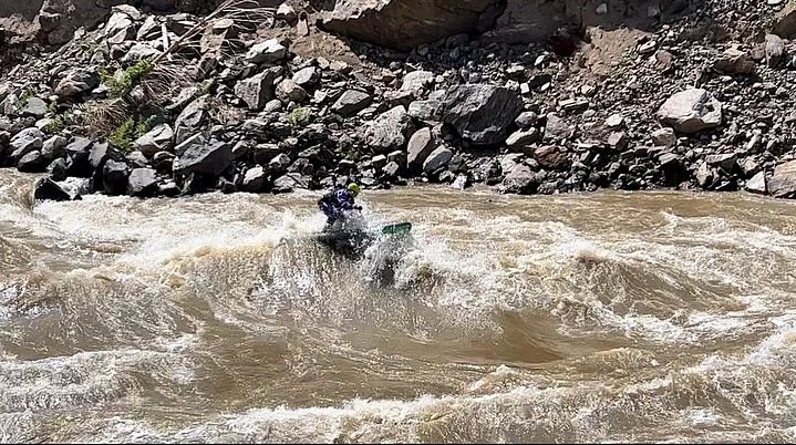
Boat-Eater is a wave within Yankee Jim’s Revenge and is notorious for developing a large, trashy hole at flows between 6,000 and 9,000 CFS. This rapid can easily flip rafts, and it’s critical for paddleboarders to navigate with caution and a strong understanding of how to maneuver through turbulent waters. At flows above 9,000 CFS, Boat-Eater becomes an especially powerful feature that can test even seasoned paddlers.
Big Rock
Big Rock is next, a massive boulder sitting dead center in the river, splitting it in two. This rapid is a consistent feature in the canyon, offering a large wave that paddleboarders must punch through. It’s straightforward but should be approached with respect, especially at higher flows when the wave grows in size. Suggested to go right at most flows.
Upper Pinch
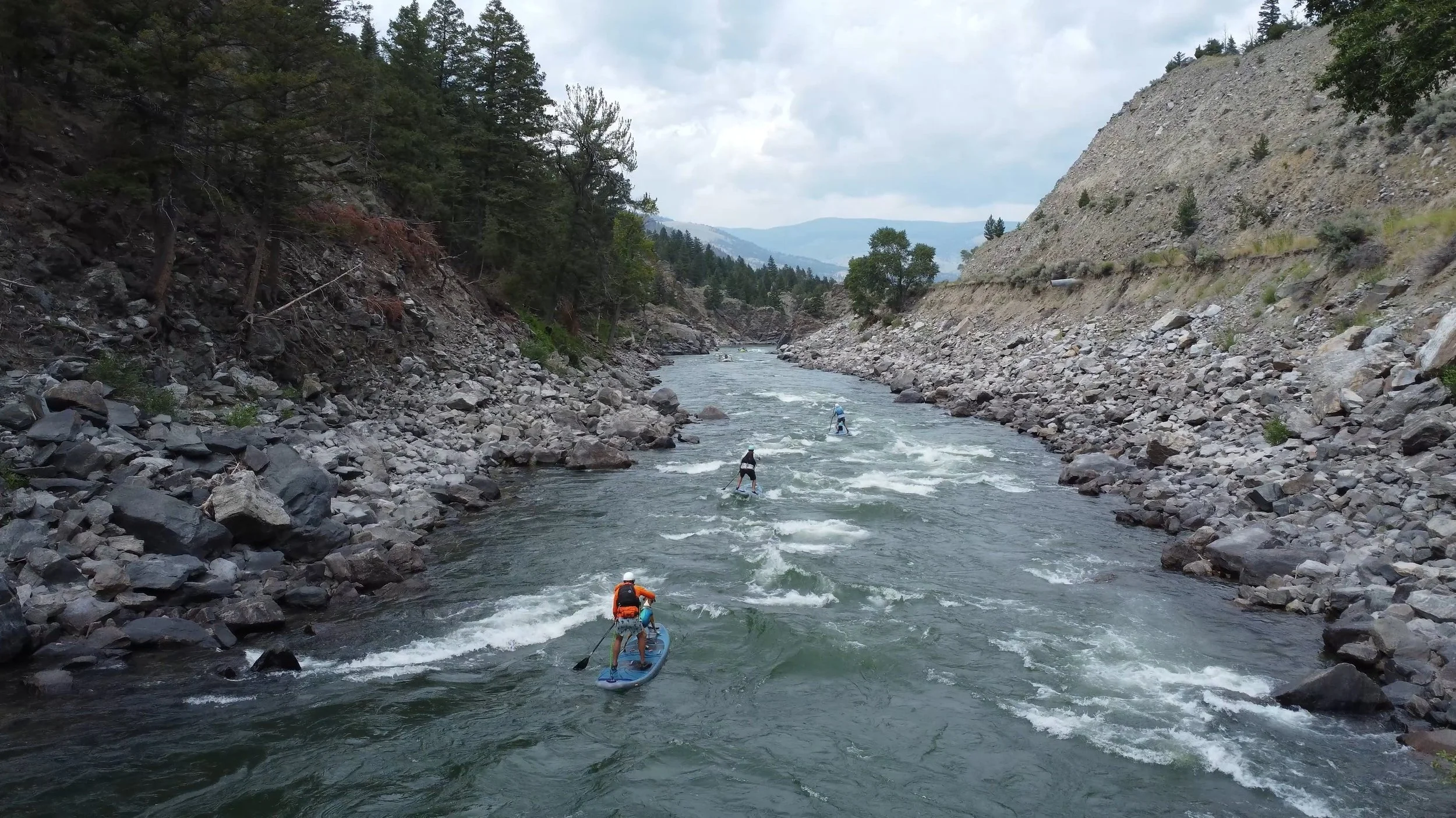
Fun wave trains form just as the canyon constricts
Boxcar Rapid
Below the Big Rock rapid, a stretch of fast-moving water leads straight toward Boxcar Rapid, the narrowest point in Yankee Jim Canyon. As the canyon walls close in, waves—varying in size depending on flow—guide you toward a tight dogleg turn with a large rock in the river's center.
Boxcar becomes particularly violent during peak flows, with large waves and dangerous holes forming when the river rises above 15,000 CFS. For paddleboarders, scouting Boxcar beforehand is highly recommended. Even at regular high water, it can be a nerve-wracking experience. At low flows, however, the rapid is much gentler, making it hard to imagine its more hazardous state during floods.
The rapid gets its name from a train derailment that once sent boxcars into the river. Though the debris is long gone, the story of the crash remains.
Whitewater Classification
At medium flows (under 10,000 CFS), Yankee Jim Canyon typically runs as a Class II-III section, with moderate rapids and some playful waves. However, when the river rises above 10,000 CFS, the canyon quickly escalates to Class IV whitewater, requiring advanced paddling skills, sharp reflexes, and an ability to navigate heavy turbulence. The nature of the rapids changes with the water level, so always check the river gauge at Corwin Springs before embarking on this run.
Safety Considerations
Yankee Jim Canyon is a serious whitewater run, especially at higher flows. Paddleboarders must be equipped with proper safety gear, including a helmet, personal flotation device (PFD), and a quick-release leash. Scouting the major rapids, especially Boxcar, is highly recommended to assess conditions before paddling through. Cold water temperatures persist year-round, and hypothermia is a risk, so wetsuits or drysuits should be worn at all times.
Due to the challenging nature of the rapids, this section is best suited for experienced paddlers with strong river navigation skills. Paddleboarders should be comfortable handling swift currents, large waves, and unpredictable water features. During spring runoff, the river can become dangerous, and only the most skilled paddlers should attempt it.
Environmental and Ethical Considerations
The Yellowstone River is a treasured waterway, and preserving its wild character requires responsible paddling. Always adhere to Leave No Trace principles by packing out all trash, respecting wildlife, and avoiding private property along the riverbanks.
In some sections, irrigation withdrawals, agricultural runoff, and oil pipelines threaten the health of the river. Be aware of closures and restrictions put in place to protect the ecosystem, such as the 2016 closure due to a parasite outbreak.
The River’s Rich History
For thousands of years, the Yellowstone River was an important lifeline for Native American tribes, including the Lakota Sioux, Crow, Cheyenne, and others. These tribes used the river’s fertile plains and forested banks for hunting, fishing, and travel.
In the 1800s, the river was a key thoroughfare during the fur trade and later during the gold rush in Montana. Yankee Jim Canyon itself was named after a colorful character who charged travelers a toll to pass through his land as they made their way toward Yellowstone National Park.
Today, modern adventurers continue to explore the Yellowstone by water, following in the wake of William Clark of the Lewis and Clark expedition, who first mapped parts of the river during his return journey to St. Louis.
Final Thoughts
The Yellowstone River offers paddleboarders an unparalleled journey through some of the most beautiful and wild landscapes in Montana. From the roaring rapids of Yankee Jim Canyon to the tranquil stretches near Big Timber, the river has something for every paddler. Whether you’re seeking whitewater
